关于软件
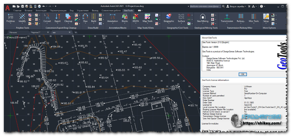
GeoTools是AutoCAD和Bricscad的附加程序,可为您提供许多专门为地理数据用户设计的有用的生产力工具。它是CAD工具的异类集合,可用于制图,测量,GIS,设施规划,房地产和基础设施管理行业的用户。 GeoTools是节省时间的生产力工具,使用想要聪明而不费力地工作的CAD用户为地理数据构建。在AutoCAD版本的GeoTools中,有大量的AutoCAD Map工具也使操作对象数据变得轻而易举。 GeoTools功能排列在易于分类的下拉菜单,工具栏中,并且在AutoCAD 2013及更高版本中也作为选项卡式功能区排列。在GeoTools中可以找到的一些borad工具类别包括折线,注释,工程图清理,数字化,AutoCAD地图,查询等。官方主页
PS:博主在10年就使用的小插件,安装非常简单,适合小白上手,提供了许多快捷方式,可以迅速扩展增强你的Autocad。详细功能可以直接下载文档,主要偏向于地理信息类的。理论上支持cad2004-cad2021版本

下载安装
原版英文安装说明
Build date:    28/04/2020
Program name:    Four Dimension Technologies GeoTools v21.00
Protection type:    serial, activation
Instructions:    Unrar and install the application.
Choose license file in the folder /keygen/
more suitable for your native language
(russian or english). This is because of
instructions are inside of this file.
Edit chosen .lsp file according inside
instructions.
For getting application key choose option
GeoTools -> Display Application Key
Once start AutoCAD as admin, choose option
Service->AutoLISP and load above edited .lsp
file. License file (.rgs) will be generated.
Restart AutoCAD.
NOTE: you have to use \\ (double slash)
while editing .lsp file not \ (single one).
机器中文
建立日期:28/04/2020
程序名称:Four Dimension Technologies GeoTools v21.00
保护类型:串行,激活
说明:解压并安装该应用程序。
在/ keygen /文件夹中选择许可证文件
更适合您的母语
(俄语或英语)。 这是因为
说明位于此文件中。
根据内部编辑选择的.lsp文件
说明。
要获取应用程序密钥,请选择选项
GeoTools->显示应用程序密钥
以管理员身份启动AutoCAD后,选择选项
Service-> AutoLISP并加载以上已编辑的.lsp
文件。 将生成许可证文件(.rgs)。
重新启动AutoCAD。
注意:您必须使用\\(双斜杠)
在编辑.lsp文件而不是\时(单个)。
PS:实际上此类cad二开程序(Lisp),破解原理就是在CAD中加载LISP脚本,通过二进制解码破解注册。希望对你的安装有所启发!
安装包+破解补丁+操作说明+用户文档
本地下载
解压密码
8Uhsd34#ldO65!
