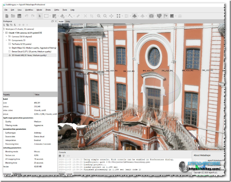
软件简介
Agisoft Metashape Professional是一款先进的软件,可最大化摄影测量功能,并包括用于分析和后处理的机器学习技术,可让您获得最准确的结果。
Metashape允许您处理使用RGB或多光谱相机(包括多相机系统)获得的图像,将图像转换为密集点云,纹理多边形模型,地理参考正射马赛克和数字高程/地形模型(DEM / DTM)。
进一步的后处理可让您从模型表面去除阴影和纹理变形,计算植被指数并撰写用于农业活动的处方文件,自动对密集点云进行分类等。
能够导出到所有外部后处理程序包的能力使Agisoft Metashape Professional成为了一种多功能的摄影测量工具,官方:传送门
版本更新
Version 1.7.0 build 11429 (2 November 2020, preview release)
Standard and Professional editions
• Added Adjust Color Levels command to Photos pane context menu.
• Added UV scaling and overlap maps export support.
• Bug fixes.
Professional edition
• Added GPU accelerated texturing support for spherical cameras.
Version 1.7.0 build 11340 (12 October 2020, preview release)
Standard and Professional editions
• Added connected components support for image alignment.
• Reworked depth maps generation algorithm to produce more detailed and less noisy results.
• Added out-of-core processing support for dense cloud import, colorization and merging.
• Added Sample Points command.
• Added Downscale Texture command.
• Added B-spline interpolation option for camera tracks.
• Added Save camera track option for Sketchfab uploads.
• Updated Python to version 3.8.
Professional edition
• Added terrestrial laser scan registration and processing support.
• Added Detect Powerlines command.
• Added Properties pane for shapes.
• Added Enable ghosting filter option to Build Orthomosaic dialog.
• Added 3D controller support in Terrain navigation mode.
• Significantly improved Plan Mission command performance and hard-to-reach areas coverage.
软件下载
等待上传


管理员随机测试